Kansas City, Missouri, October 6, 2025
News Summary
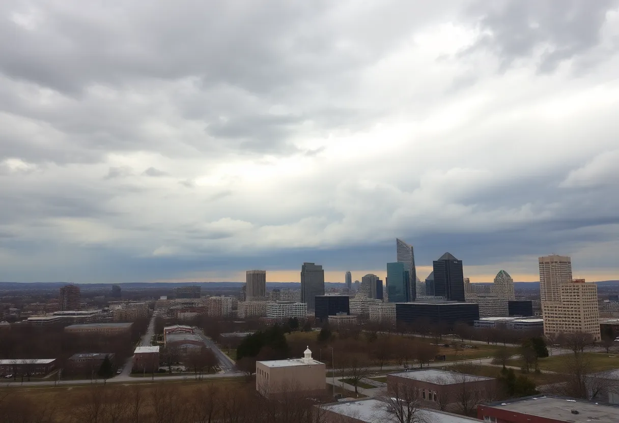
Kansas City is preparing for a significant weather shift as a cold front moves through the area this week, leading to cooler temperatures and scattered rainfall. Monday will see temperatures reaching 81 degrees, while a drop to 67 degrees is expected by Tuesday. Thunderstorms may develop, especially east of Interstate 35, with rainfall amounts expected between 0.10 to 1 inch in various regions. This weather change comes amid a notable rainfall deficit, making the upcoming rain vital for the Kansas City area.
Kansas City Weather Update
A cold front is set to move through the Kansas City area this week, bringing cooler temperatures and a noticeable change in the weather conditions. On Monday morning, showers and thunderstorms were moving across the region, primarily to the north and west of Interstate 35.
Throughout the day, storm activity is expected to become more scattered, with possible breaks in the rain. A few isolated thunderstorms may develop along the cold front as it shifts east of I-35 by midday, potentially producing small hail and gusty winds. As evening approaches, storms are anticipated to continue moving eastward, with coverage becoming increasingly scattered by daybreak on Tuesday.
The best chance for rain will be for areas along and east of I-35. Isolated showers and thunderstorms may persist into Tuesday afternoon. On Monday, temperatures are expected to reach 81 degrees, which is approximately 10 degrees above the average of 72 degrees for early October in Kansas City.
After the cold front passes, temperatures are forecasted to drop to 67 degrees on Tuesday and 72 degrees on Wednesday. As the week progresses, temperatures are projected to gradually rise, reaching mid-70s on Thursday, around 80 degrees on Friday, and low to mid-80s over the weekend.
Rainfall during Monday afternoon and evening is expected to be scattered. By Tuesday afternoon, temperatures will range in the 60s with increasing sunshine as rain gradually moves out. Rainfall in the Kansas City area may amount to 0.10 to 0.50 inches, with heavier amounts expected west of I-35. Areas in southcentral Kansas to northwest Missouri could see rainfall totaling between 0.50 to 1 inch or even up to 1 to 2 inches.
Another chance of rain is possible on Thursday night, with significant changes anticipated to potentially bring widespread rain the following week. Since the end of July, the Kansas City area is approximately 6.50 inches below average rainfall, underlining the importance of this upcoming weather system.
Temperatures for the Week
- Monday: 81 degrees
- Tuesday: 67 degrees
- Wednesday: 72 degrees
- Thursday: Mid-70s
- Friday: Around 80 degrees
- Weekend: Low to mid-80s
Expected Rainfall
- Kansas City Area: 0.10 to 0.50 inches
- West of I-35: Heavier amounts expected
- Southcentral Kansas to Northwest Missouri: Up to 1 to 2 inches possible
Historical Context
The Kansas City area has faced significant dryness, being approximately 6.50 inches below average rainfall since late July. This coming weather system could alleviate some of that deficit.
FAQs
What is the expected temperature drop after the cold front?
Following the cold front, temperatures are forecasted to drop: 67 degrees on Tuesday and 72 degrees on Wednesday.
When will the best chance of rain occur?
The best chance for rain will be for areas along and east of I-35.
How much rainfall is expected?
Rainfall in the Kansas City area may amount to 0.10 to 0.50 inches, with heavier amounts expected west of I-35.
What is the historical rainfall deficit for the Kansas City area since July?
Since the end of July, the Kansas City area is approximately 6.50 inches below average rainfall.
Key Features of the Weather Update
| Feature | Details |
|---|---|
| Cold Front Arrival | Brings cooler temperatures and rain. |
| Monday Temperatures | Expecting 81 degrees, 10 degrees above average. |
| Rainfall Amount | 0.10 to 0.50 inches expected in Kansas City. |
| Rain Chances | Best chance along and east of I-35. |
| Temperature After Cold Front | Drops to 67 degrees on Tuesday, 72 degrees on Wednesday. |
Deeper Dive: News & Info About This Topic
HERE Resources
Heavy Police Presence at Vigil Raises Security Concerns
School Bus Crash in Blue Springs During Morning Commute
Controversial Dismissal at Wicked Weed Brewing
Record Heat and Wildfires Challenge Millions Across America
Kansas City SUV Collides with School Bus, Injuring Children
Iowa State University Dominates in Volleyball Matches
UK Retail Sales Surge Amid ONS Data Issues
Homicide Investigation at Burning Man Festival Amid Storm
Church School Bus Crash on I-29 Injures Nine
Website Performance Issues: Space City Weather’s Hosting Challenges
Additional Resources
- KMBC: KC Weather Forecast Cold Front Rain Cooler Week
- Wikipedia: Cold Front
- KSHB: Fall Change Arrives Today and Tuesday
- Google Search: Kansas City Weather Update
- KCTV5: First Warn Forecast Warm Dry Breezy Weekend Underway
- Encyclopedia Britannica: Weather
- Fox4KC: Joe’s Blog Fake Fall Cold Front
- Google News: Kansas City Weather
- Kansas City Star: Weather News